Overview
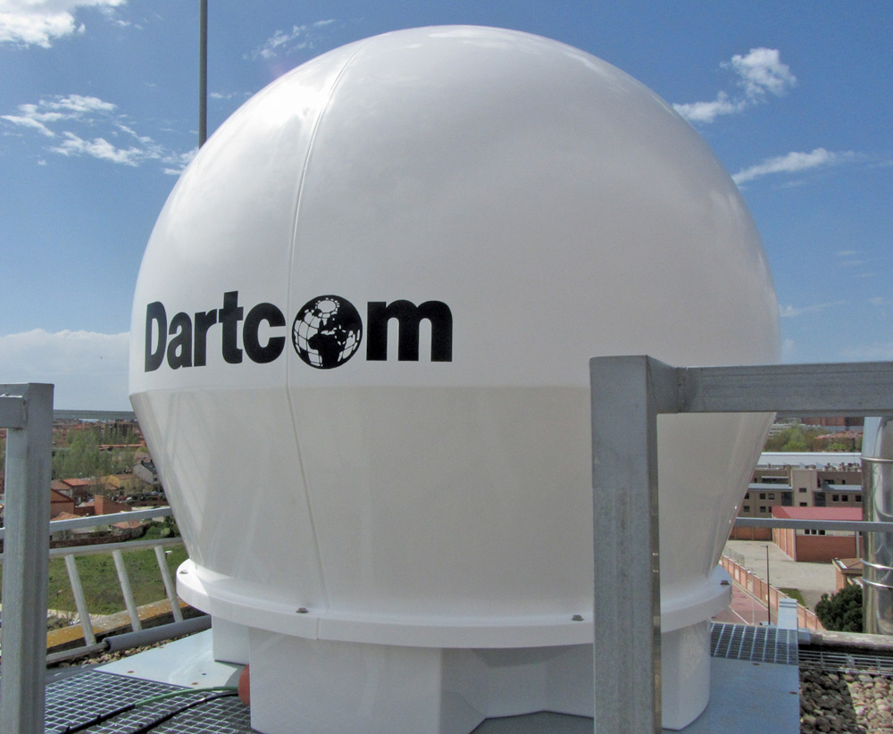
Dartcom radome-enclosed 1.5m land-based HRPT/AHRPT antenna
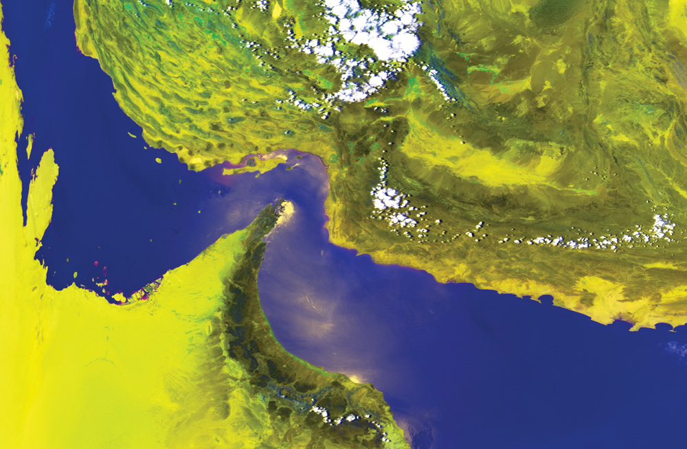
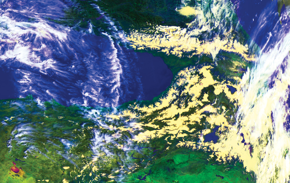
NOAA HRPT false-colour images (channels 1, 2 and 4) showing the Persian Gulf and Black Sea with snow on the mountains appearing light yellow
Reliable, high-performance land-based and marine systems for HRPT, AHRPT and DMSP data from NOAA, Metop and DMSP-5D satellites.
The Dartcom HRPT/AHRPT System receives, archives, processes and displays data from NOAA and Metop (L-Band) polar-orbiting satellites, and optionally DMSP-5D (S-Band) satelites.
Two land-based antennas are available – 1.2m or radome-enclosed 1.5m). For marine use a radome-enclosed 1.5m antenna with active stabilisation can be specified. Both 1.5m antenna options provide a future upgrade path for X-Band EOS reception.
Ingested data can be viewed and processed using the Dartcom iDAP/MacroPro software. Outputs are also available for popular image processing software packages such as PCI Geomatica, ERDAS IMAGINE and ENVI/IDL, as well as standard interchange formats such as NOAA level 1B, EPS level 0 and GeoTIFF.
Direct broadcast GOES HRIT and GEO-KOMPSAT-2A (GK-2A) LRIT reception is also possible, either between polar-orbiter passes or continuously, with optional hardware and software.
The system comprises the following main components:
- Antenna – land-based and marine options available.
- Modular receiver rack containing plug-in modules for easy maintenance and upgrade.
- Optional temperature sensor unit for temperature monitoring.
- Ingest and visualisation PC running Dartcom Polar Orbiter Ingester and Dartcom iDAP/MacroPro software.
Dartcom can also provide on-site installation and training services.
Polar Orbiter Ingester Software
Dartcom also offers X-Band EOS Systems for Terra, Aqua, Suomi NPP, JPSS, FY-3 and Metop-SG satellites.