Sample Images
These sample images were all received using Dartcom HRPT/AHRPT Systems with Polar Orbiter Ingester software and processed using the Dartcom iDAP/MacroPro software. Click or tap any of the images to enlarge them.
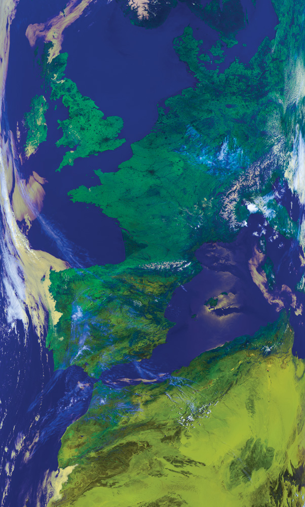
Metop-A AVHRR false colour composite image (channels 1, 2 and 4) showing Europe and northern Africa
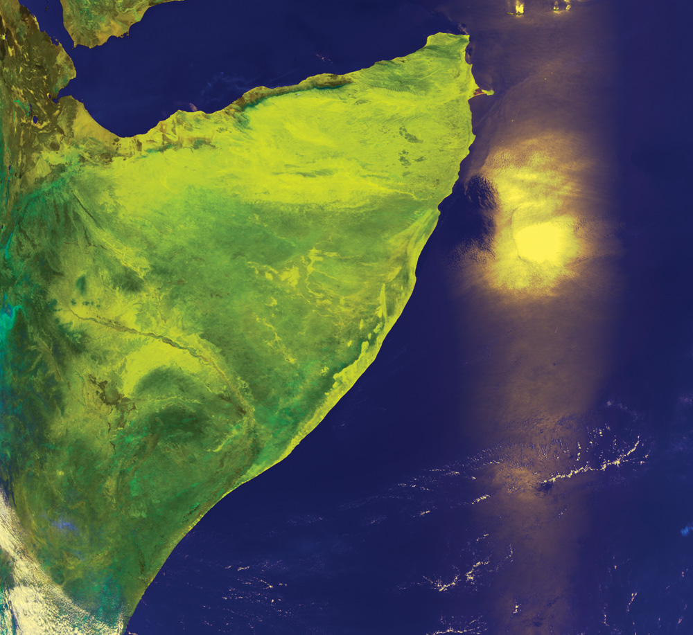
NOAA AVHRR HRPT false colour composite image showing the Horn of Africa with sun glint on a dust plume
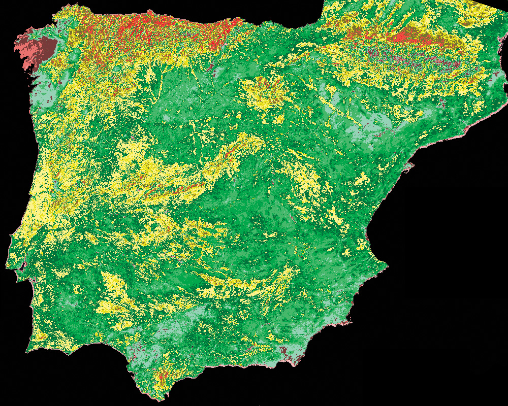
Normalised Difference Vegetation Index (NDVI) product created from a NOAA AVHRR image of Spain and Portugal using the Projection Transformation, Formula Palette and DEM Masking functions of the Dartcom iDAP software
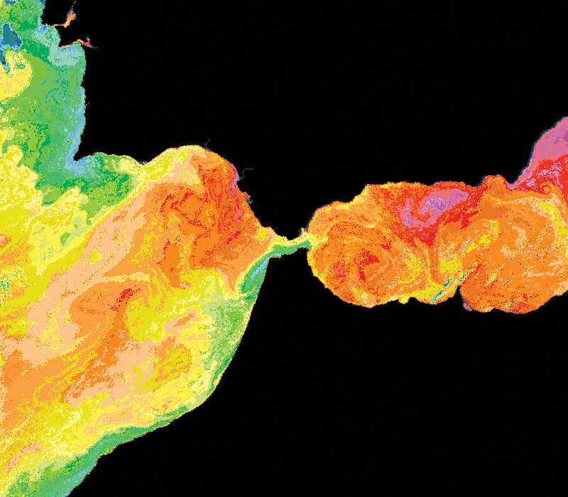
McClain Sea Surface Temperature (MCSST) product created from a NOAA AVHRR image of the Strait of Gibraltar using the Projection Transformation, Formula Palette and DEM Masking functions of the Dartcom iDAP software
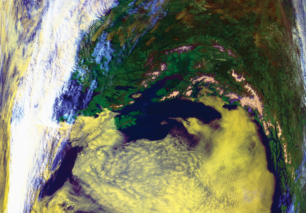
NOAA AVHRR HRPT false colour composite image of Alaska showing low cloud in yellow and snow on the mountain tops