Overview
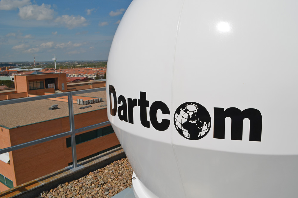
Dartcom X-Band EOS System antenna
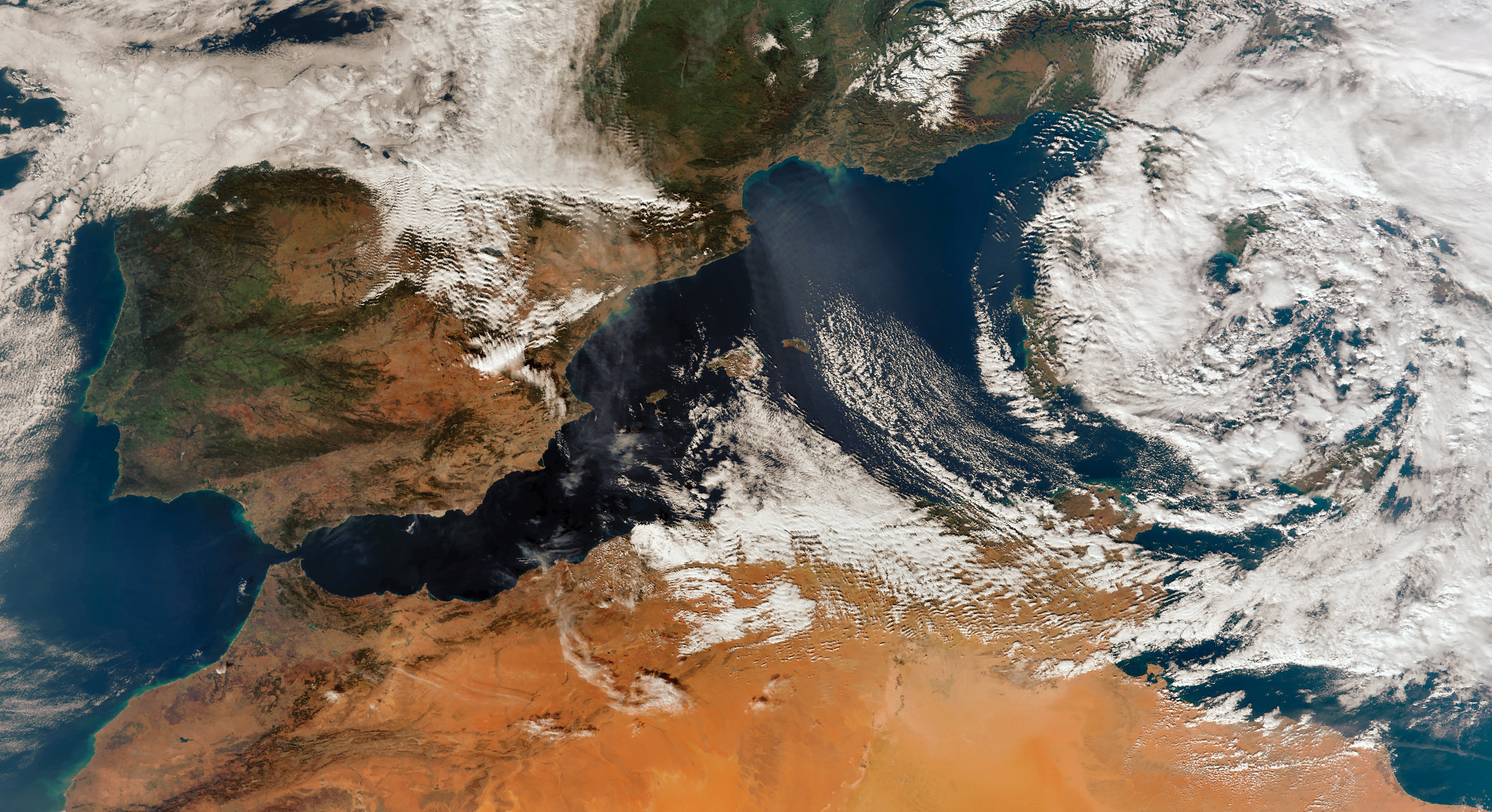 Wave clouds in the Mediterranean
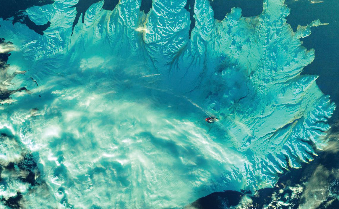
2015 Bárðarbunga volcanic eruption in Iceland
Affordable, high-performance solution for ingesting X-Band EOS data from Terra/Aqua (MODIS), Suomi NPP, JPSS, FengYun-3 (FY-3) and Metop-SG* satellites.
X-Band Earth Observation Satellite (EOS) data is essential for accurate monitoring of global weather and climate patterns. It is also invaluable for remote sensing work, such as monitoring ocean currents, detecting forest fires and mapping land use.
However, X-Band EOS reception systems have always tended to be very expensive to purchase and maintain. They also normally require specialised installation procedures and building works.
The Dartcom X-Band EOS System changes that, bringing X-Band within reach of universities, research institutions and other organisations with limited budgets and restricted installation sites.
It was developed from the outset as a lower cost X-Band system which still offers performance and features competitive with much more expensive products.
Dartcom has achieved this with a smaller antenna, state-of-the-art RF components, tight tolerances and advanced software.
Land-based and marine antennas are available.
Polar Orbiter Ingester Software
Dartcom also offers HRPT, AHRPT and DMSP Systems for NOAA, Metop and DMSP-5D satellites.
* Hardware is Metop-SG ready but a future software update will be needed to receive it.