GK-2A LRIT System  Overview
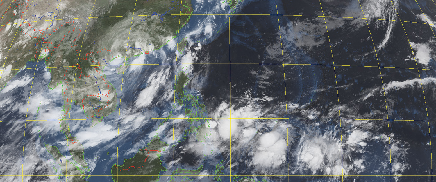
10.5µm infra-red image with Blue Marble mask showing Tropical Storm Talim on July 17th, 2023
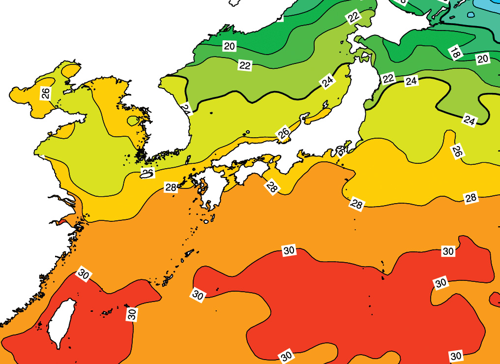
Sea surface temperature forecast
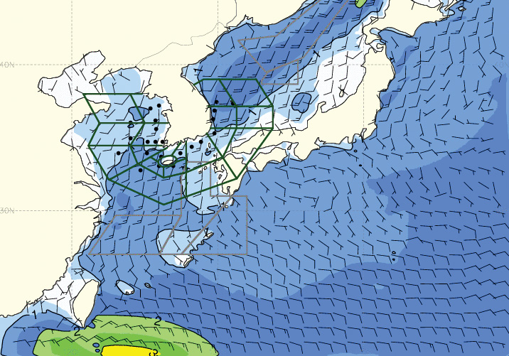
Surface winds and wave height forecast
Reliable, high-performance system for receiving and processing LRIT images and other data from the GEO-KOMPSAT-2A geostationary satellite.
The Dartcom GK-2A LRIT System can receive, archive, process and display images, charts and other data from the Korean Meteorological Administration (KMA) GEO-KOMPSAT-2A (GK-2A) satellite.
The hardware comprises a 1.25m parabolic antenna with an integrated feed/downconverter and a Dartcom USB receiver.
GK-2A LRIT L-Band direct broadcast data includes a 10.5µm infra-red image every 10 minutes, plus wave forecasts, sea ice forecasts, sea surface temperature analyses, pressure charts and other products disseminated by KMA.
Images and charts can be viewed and processed using the Dartcom iDAP software, with facilities such as animation, enhancement, palette products, reprojection, masking, printing and exporting to third-party file formats.
The Dartcom MacroPro software automates the processing facilities provided by iDAP, enabling fully automatic ingest and processing with full logging and alarms.
Outputs are also available for processing software such as PCI Geomatica, ERDAS IMAGINE and ENVI/IDL, as well as standard interchange formats such as PGM and GeoTIFF.
Geostationary Ingester Software
Dartcom also offers EUMETCast, HimawariCast, GOES HRIT and GK-2A UHRIT systems.