Overview
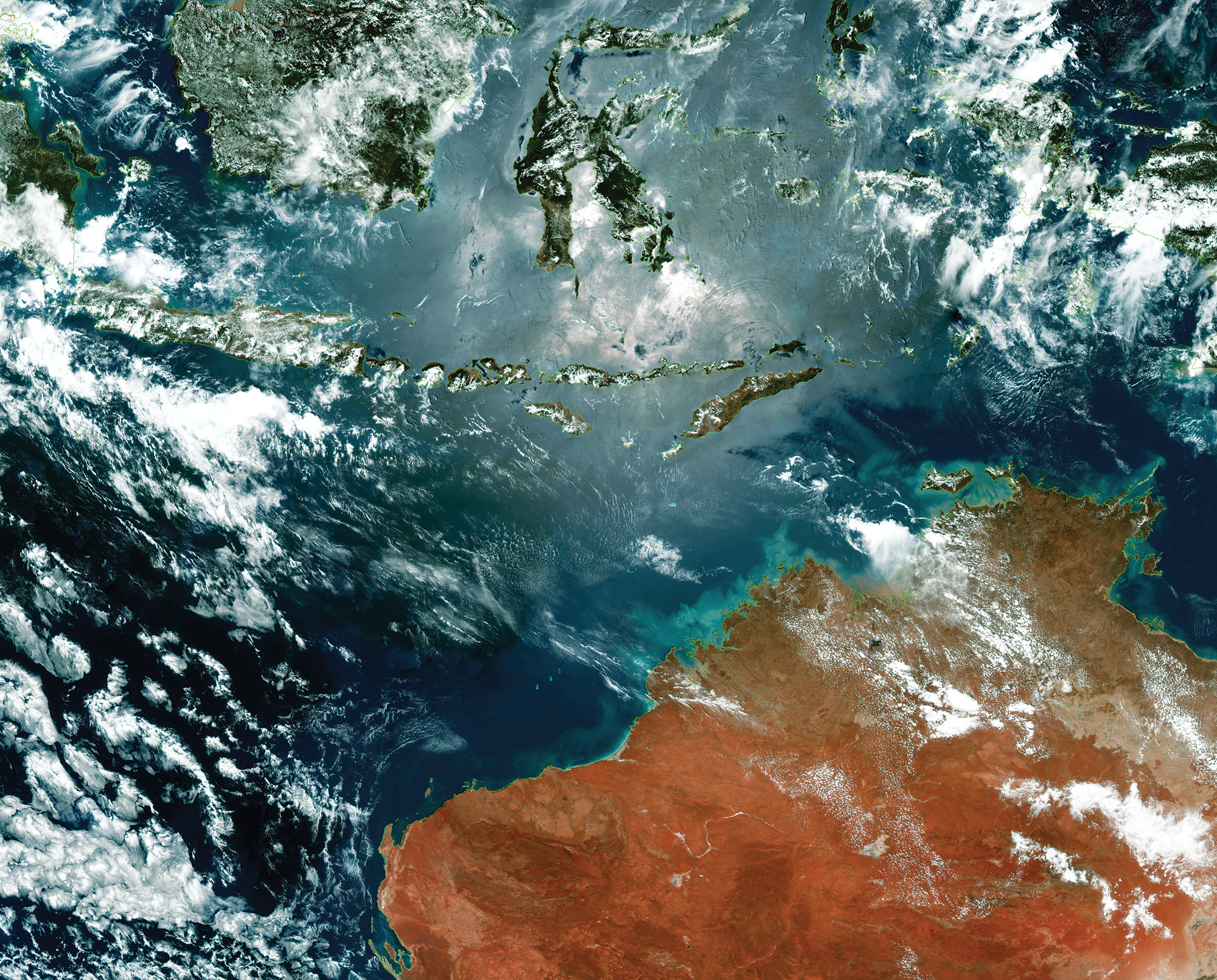
True colour image of Indonesia and Australia produced from the 0.64µm, 0.51µm and 0.47µm bands
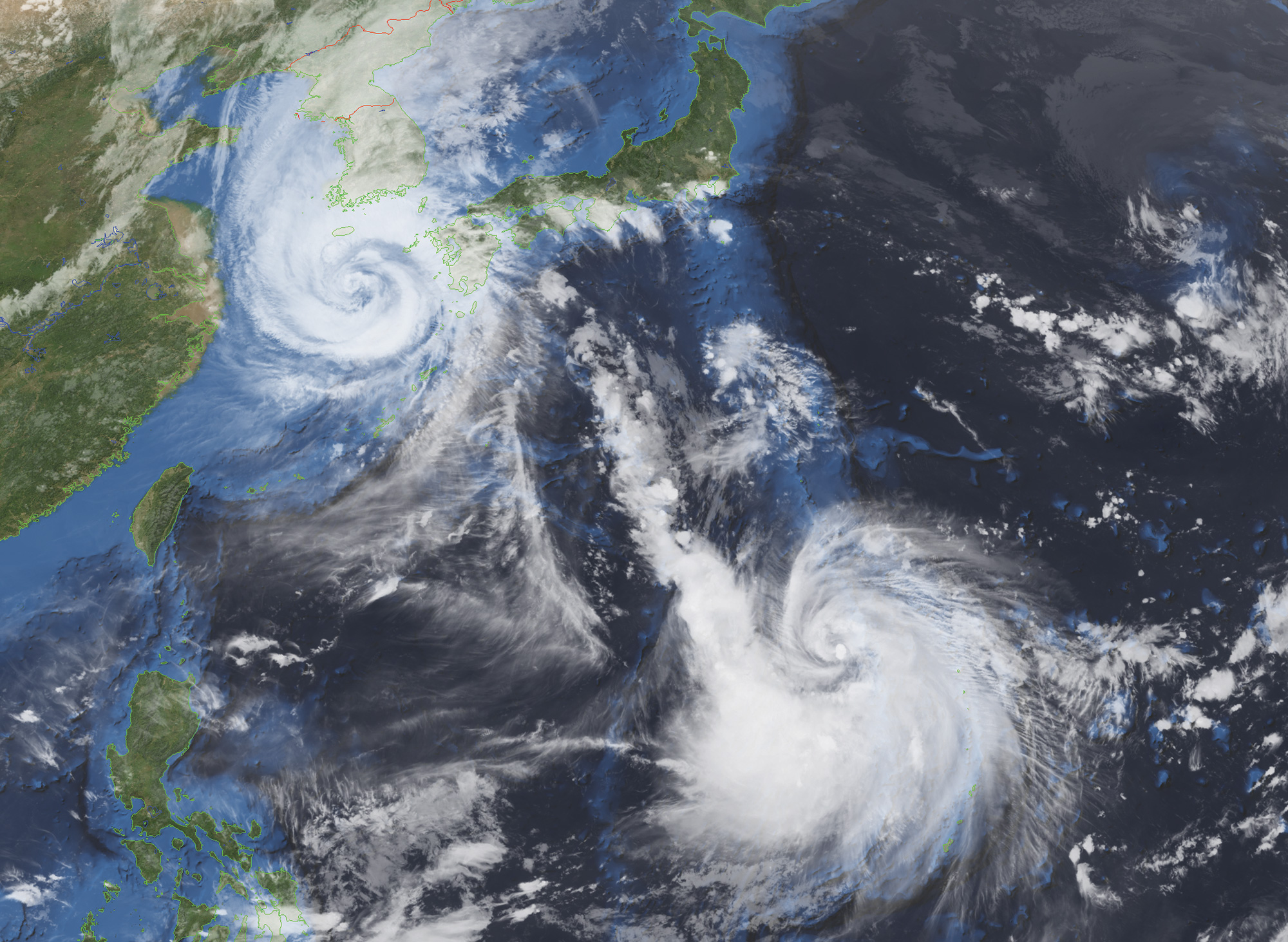
Typhoons Maysak and Haishen in September 2020, produced from the 10.5µm infra-red band with a Blue Marble mask applied using iDAP
Reliable, high-performance system for receiving, archiving, processing and displaying ultra-high resolution images from the GEO-KOMPSAT-2A satellite.
The Dartcom GK-2A UHRIT System can receive, archive, process and display ultra-high resolution (UHRIT) image data from the Korean Meteorological Administration (KMA) GEO-KOMPSAT-2A (GK-2A) satellite.
GK-2A transmits UHRIT data via a 31Mbps DVB-S2 X-Band downlink. DVB-S2 provides enough bandwidth for the 16 spectral bands produced by the Advanced Meteorological Imager (AMI) sensor at up to 500m resolution on a 10 minute repeat cycle.
Various meteorological products are also transmitted in NetCDF format, including Rainfall Rate (RR), Sea Surface Temperature (SST) and Cloud Top Products (CTPS).
The service area includes Korea, China, Indonesia, Malaysia, Philippines, Thailand, Vietnam, Taiwan, Japan and Australia. For detailed coverage information, please see Antenna Requirements.
Images can be viewed and processed using the Dartcom iDAP/MacroPro software. Outputs are also available for processing software such as PCI Geomatica, ERDAS IMAGINE and ENVI/IDL, as well as standard interchange formats such as PGM and GeoTIFF.
Geostationary Ingester Software
Dartcom also offers EUMETCast, HimawariCast, GOES HRIT and GK-2A LRIT systems.